Anton Eitzinger
San Antonio, Cali, 760001, CO · 57 319 6827 470
anton.eitzinger@funkbag.net
Anton Eitzinger is a geospatial analyst and climate change scientist. He holds a doctor philosophiae in GeoSciences from the University of Munich (LMU) in Germany. His current research at the International Center for Tropical Agriculture is focusing on Digital Agriculture transformation and monitoring approaches for agricultural development projects and digital transformation of small farmer extension services. Furthermore, he is using analytical-spatial approaches to assess the impact/magnitude and vulnerability of different agricultural systems to climate change and climate extremes.
Publications
Scientific article
Geofarmer: A monitoring and feedback system for agricultural development projects.
open
Scientific article
Risk perception and decision-making: do farmers consider risks from climate change?
open
Scientific article
Assessing high-impact spots of climate change: spatial yield simulations with DSSAT model
open
Scientific article
Implications of a changing climate on food security and smallholders’ livelihoods in Bogotá, Colombia
openExpertise
Scientist
Leading research in the field of Digital Transformation in Agriculture and Climate-resilient Agriculture.
Academic instructor
Academic instructor at UNIGIS University network for GIS distance learning.
Visiting Researcher
Geospatial analysis, vulnerability and impact from climate change to small farmer agriculture.
Geospatial Analyst
Spatial-Data-Manager and Geospatial Analyst in land use projects at the Geographical Information department of the Government of Salzburg SAGIS.
Design engineer
Design engineer for technical product development.
Education
Ludwig-Maximilians-University (LMU) Munich, Germany
Thesis project: Climate Change Adaptation: From Science knowledge to local implementation
University of applied sciences Salzburg (FH Salzburg)
Thesis project: The car board computer as a central communication tool for location-based-services
University of Salzburg
UNIGIS - Distance learning in Geographical Information Systems
Projects
The 5Q Approach
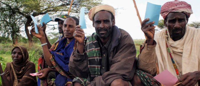
The 5Q Approach incorporates feedback mechanisms in agricultural development projects to build an evidence base that improves decision-making, adoption, and impact!
Goto ProjectGeoFarmer
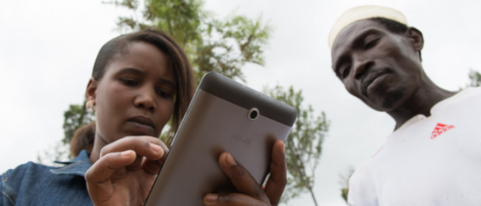
The GeoFarmer app allows community workers and smallholders to easily collect and share information on climate-related agricultural interventions. Development agencies can use the tool to gather effective feedback and to respond to emergent climate needs.
Goto Project Info NoteGeoCitizen
GeoCitizen is a digital hub for Community Management, Citizen Participation and Citizen Science. It supports citizen participation processes, community initiatives, citizen science projects and voluntary engagement on different geographic and administrative levels.
Goto ProjectThe Metrix
The Metrix addresses the problem of lack of data interoperability at the supply side of the value chain, and applies data science to collectively provided data to produce smart-metrics for the supply side of the value chain that will help both the sharing of risks but also innovate around the development of unique farmer services.
Blog postTortillas on the Roaster
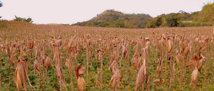
Higher temperatures and changes in rainfall patterns could transform the agricultural landscape of Central America, threatening the livelihoods of one million maize and bean farmers.
Project ReportInterests
Apart from being a scientist, I enjoy most of my time with family and friends. In my work-free time, I do self farming and gardening, cycling and enjoy reading books. I am appasionate about music. I've been making music most of my life, but also enjoy going to concerts and just explore new music in my hammock.
I spend a large amount of my free time exploring the latest science publications and be an active citizen in my community. But also, enjoy Listening to radio shows, and watching television shows is part of relaxing during the evenings and weekends.
 https://orcid.org/0000-0001-7317-3381